ACTIVE MONITORING — THE AMAZON BASIN

Environmental crime, caught from orbit

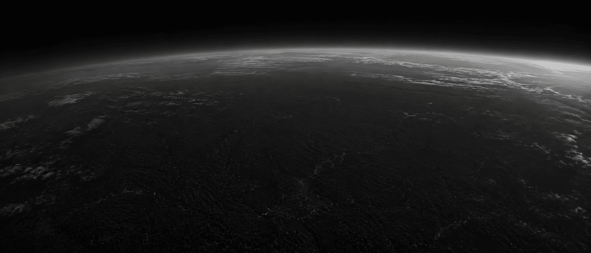
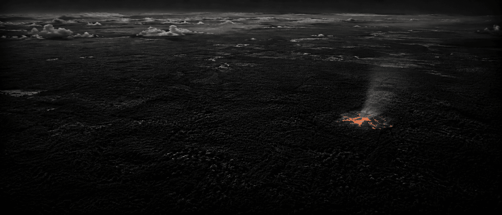
Argos watches the Amazon and Chile's forests from satellites, day and night. The moment it detects illegal mining, fires, or other environmental damage, it cross-checks the exact location against official protected-area and concession records — so what you get is a clear verdict, not just a raw alert.

THE PROBLEM

The land is being destroyed faster than any human team could ever survey it on foot.
4.6M ha
of primary Amazon rainforest lost in 2024 alone — the highest annual loss on record for the biome
GLOBAL FOREST WATCH / WRI, 2024
90%
of artisanal gold mining in Madre de Dios, Peru, is illegal or informal
USAID, 2022
USD 6.8B+
in illegal gold trafficked out of Peru every year — more valuable than the country's drug trade
REUTERS / IPE, 2026
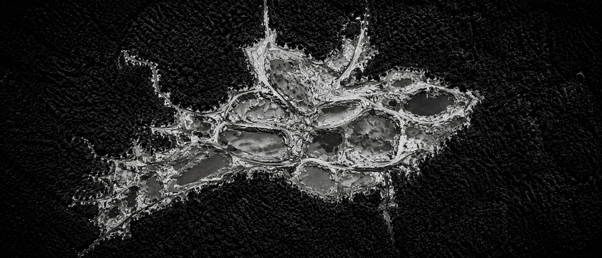
Satellite view of an illegal mining scar cut into the rainforest
DETECTED BY ARGOS
HOW IT WORKS

From a satellite image to a clear answer, in four steps.

01

We photograph the territory

Satellites photograph the Amazon rainforest and Chile's forestland every few days, covering areas far too vast for any team to patrol on foot.

02

An AI spots the change

A model trained for this compares each new image against previous ones and detects where logging, excavation, or fire appeared.

03

We check if it had a permit

Before saying anything, we cross-reference that exact location against official records: protected areas, indigenous territories, concessions, and active permits.

04

We give you a clear answer

Every case ends in HIGH RISK, LOW RISK, or NEEDS VERIFICATION if information is missing — we never make up an answer.

PRODUCT LINES

What Argos verifies today — and where it's headed next.

Illegal mining

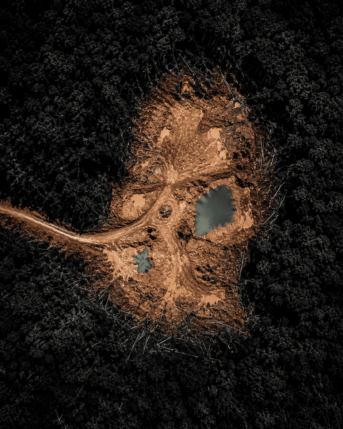
We monitor the rainforest in Peru, Colombia, Brazil, and Bolivia. As soon as a new excavation or mining-driven clearing appears, we detect it and check whether that area had permission for it.
WHAT WE MEASURE
Vegetation health (NDVI) + AI visual recognition
FREQUENCY
Review every 5 days
SAMPLE OUTPUT
COORD-9.15230, -71.2841
CONFIDENCE94.2%
VERDICTHIGH RISK
COMING NEXT:River and sand extractionLithium salt flat trackingMore environmental risk categories
DATA RELIABILITY

Before accusing anyone, we check five times whether they had a permit.

We never say HIGH RISK just because we couldn't find the permit in time. If an official record is unavailable or information is missing, the system honestly says NEEDS VERIFICATION — it never makes up an answer.

LAYER 01
Is it a protected area?
WDPA
LAYER 02
Is it indigenous territory?
RAISG / FUNAI
LAYER 03
Does it have an active mining concession?
INGEMMET / SERNAGEOMIN
LAYER 04
Does it have an environmental permit?
Official records
LAYER 05
Is it in a buffer zone?
Regulatory buffers
SATELLITES WE USE:Copernicus Sentinel-1Copernicus Sentinel-2GOES-19NOAA VIIRS
THE PRODUCT

This is what it looks like for the people who already use it every day.
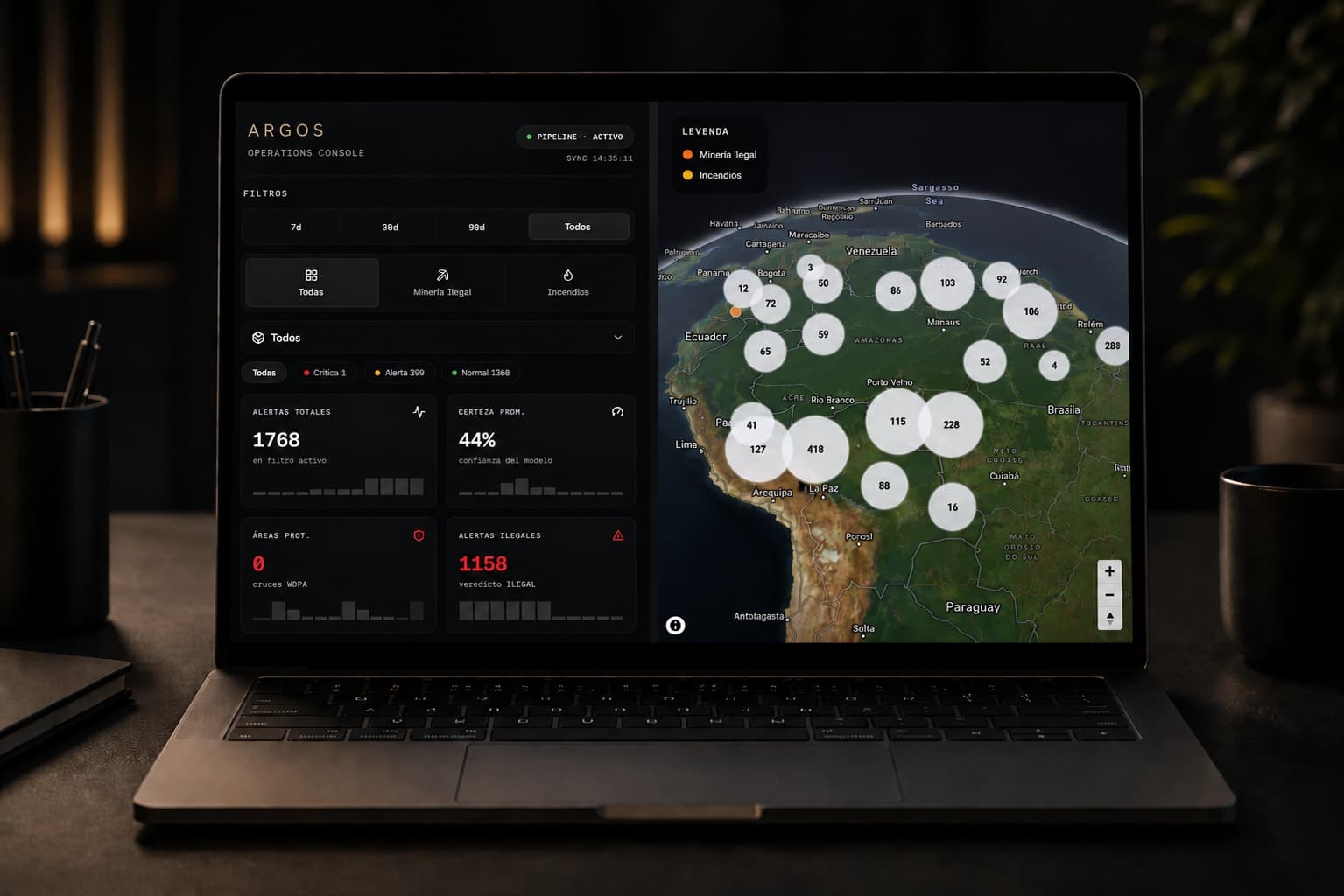
Argos dashboard view
BUILT FOR
Mining & extractive companies
Forestry companies
Government agencies
Conservation NGOs

Let's talk about your case, no strings attached.

Tell us what you need to monitor — environmental enforcement, corporate compliance, or a supply chain review — and we'll show you how Argos can help.

ArgosARGOS

We monitor the territory from space to protect the rainforest and mountains of South America.

What Argos reports is a research aid, not a legal decision on its own. Any official action requires confirmation from the competent authority.

© 2026 Argos

Land-mining detection built in part on the open Amazon Mining Watch model (Earth Genome, Amazon Conservation Association, Pulitzer Center Rainforest Investigations Network), CC BY 4.0.